
Nemesis Club: Evil Robots
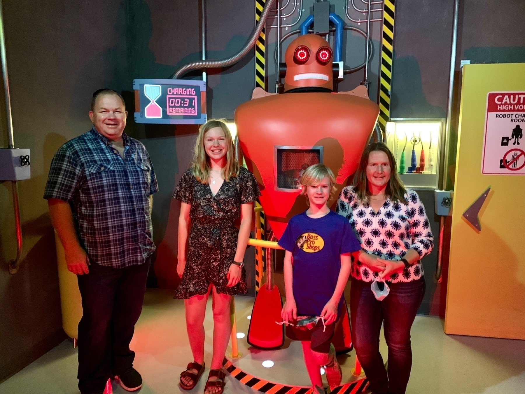
For our final day in Arizona we decided add an Escape Room to the agenda. Tammy researched this and she wasn’t planning on doing one, but the Evil Robot room at the Nemesis Club seemed too good to pass up. She was totally right! 🤩
The Nemesis Club was the most well done escape room experience we have ever done. Everything was extremely well done, even the entrance and how they welcomed you was special. The room itself was so intricate and immersive that you really felt like you were there. The electronics were flawless. There were a lot of screens and videos and everything was exceptional. We also loved that the puzzles were not the same run of the mill digits to a lock but were more creative, yet solvable.
We solved the room with 31 seconds to spare! This is a “must do” experience! 👏 Room 34!
Hiking Camelback Mountain
Today was our final day for hiking in Arizona and we decided to end with the big one, Camelback Mountain! The Cholla Trail is closed right now, so it was easy to pick the Echo Canyon Trail. This was the hardest hike I’ve ever done by a pretty big margin. In fact, both Tammy and I felt most of the hike was really more of a scramble over boulders. We took a steady pace up. Tammy would get ahead of me and wait for me to catch up. The hike up took 73 minutes, ascending 1,317 feet over 1.37 miles.
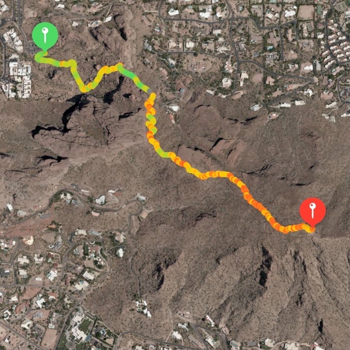
I always feel like going down on steep trails is harder than going up, but for Camelback you are going down such a steep rate that it is more like climbing down rocks so you are using your hands to brace. I found going down easier than I expected. I did slip on loose gravel at one point and fell down. I was fine, but it was cool to see my Apple Watch accurately detect the fall. It took me 68 minutes to descend.
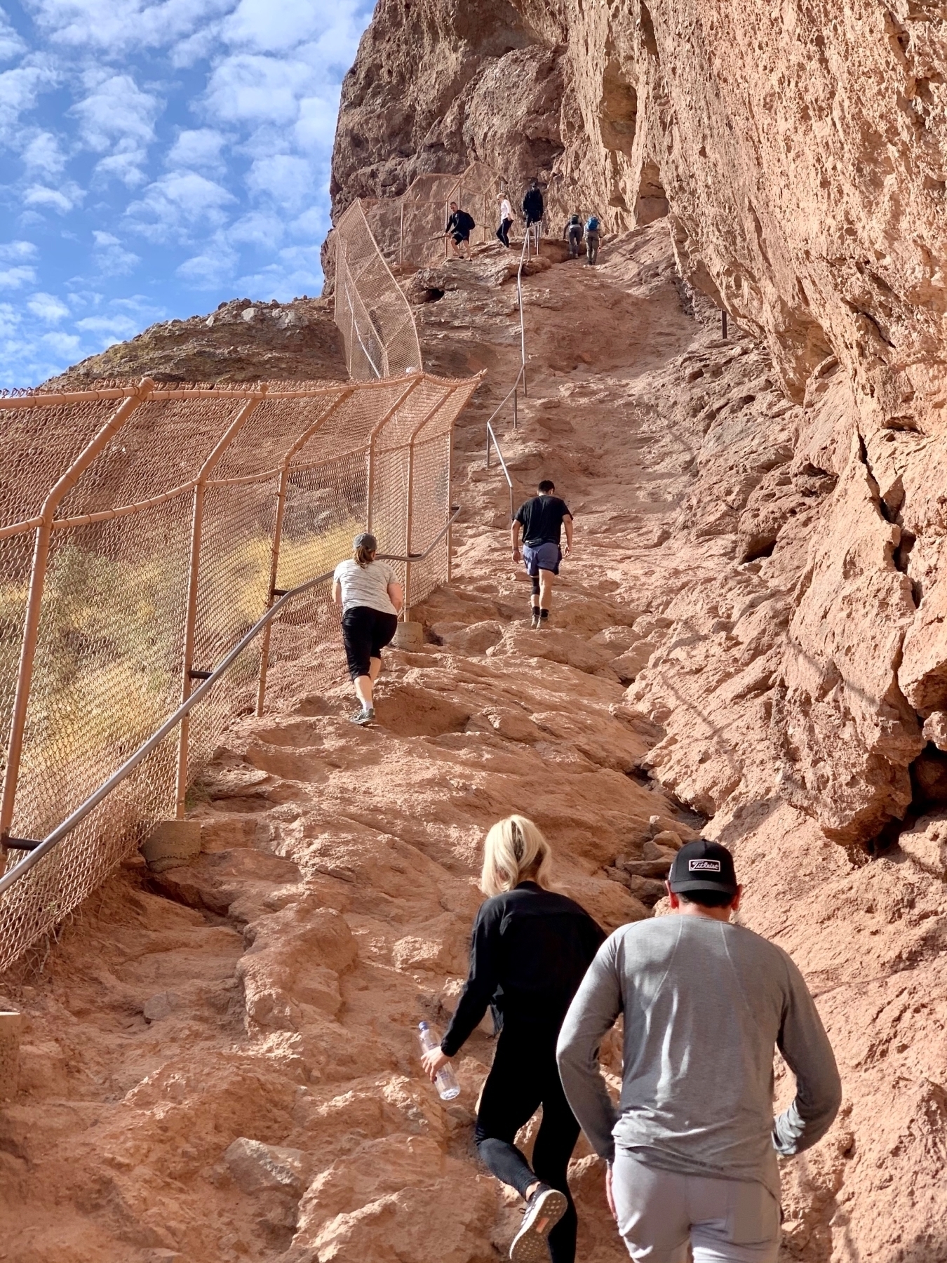 _The trail has two sections with handrails installed to help you get up and down._
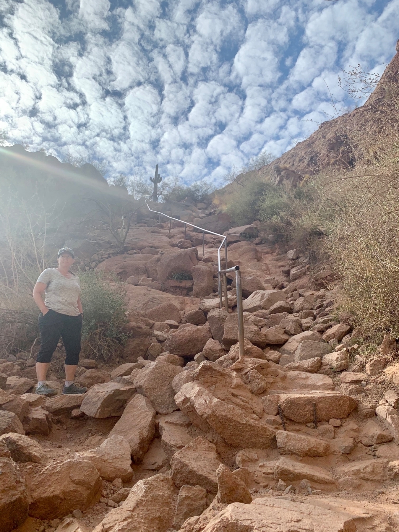 _Second section of handrail with Tammy hanging out for me to arrive._
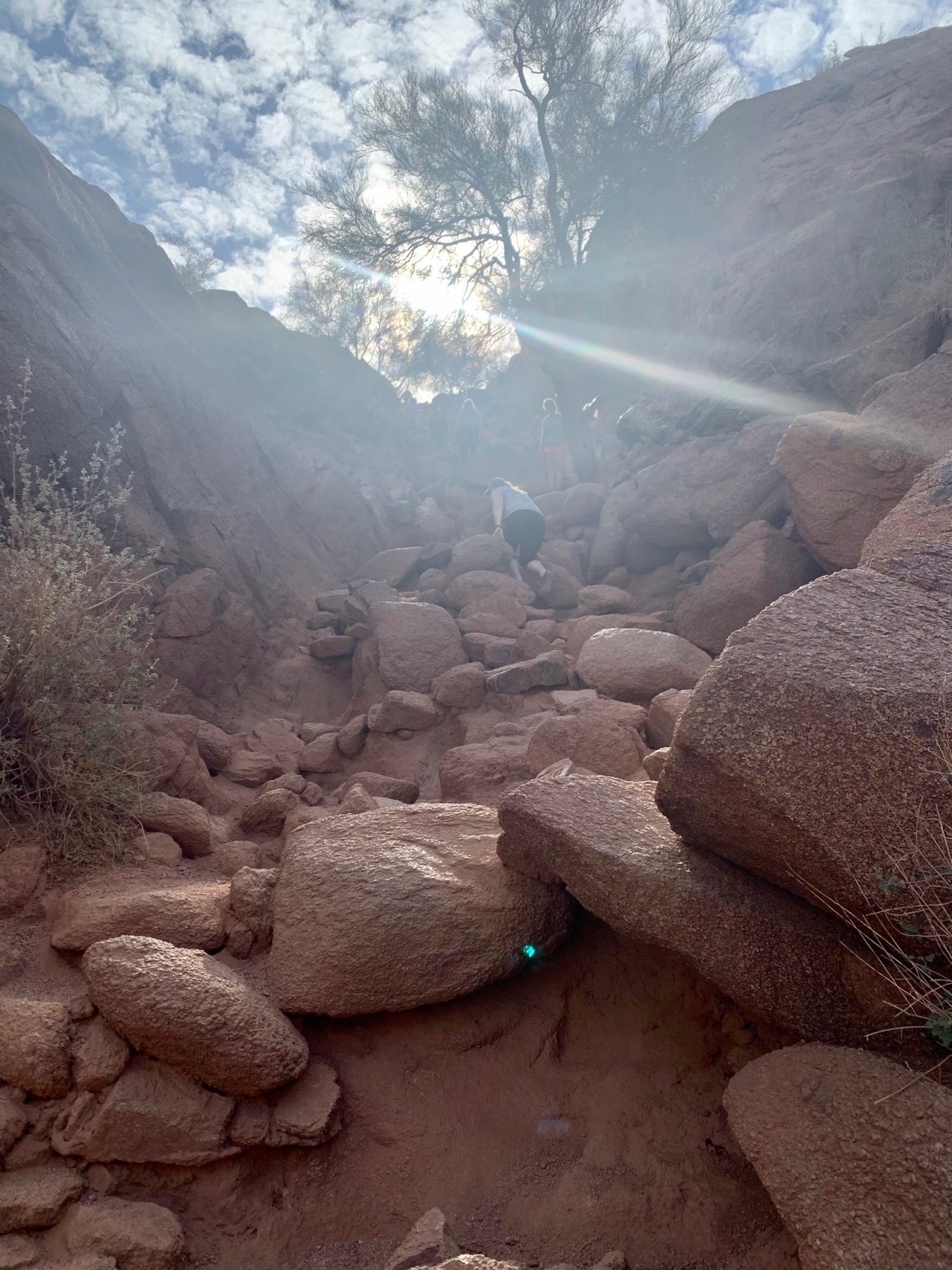 _This gives some sense of what the ascent is like._
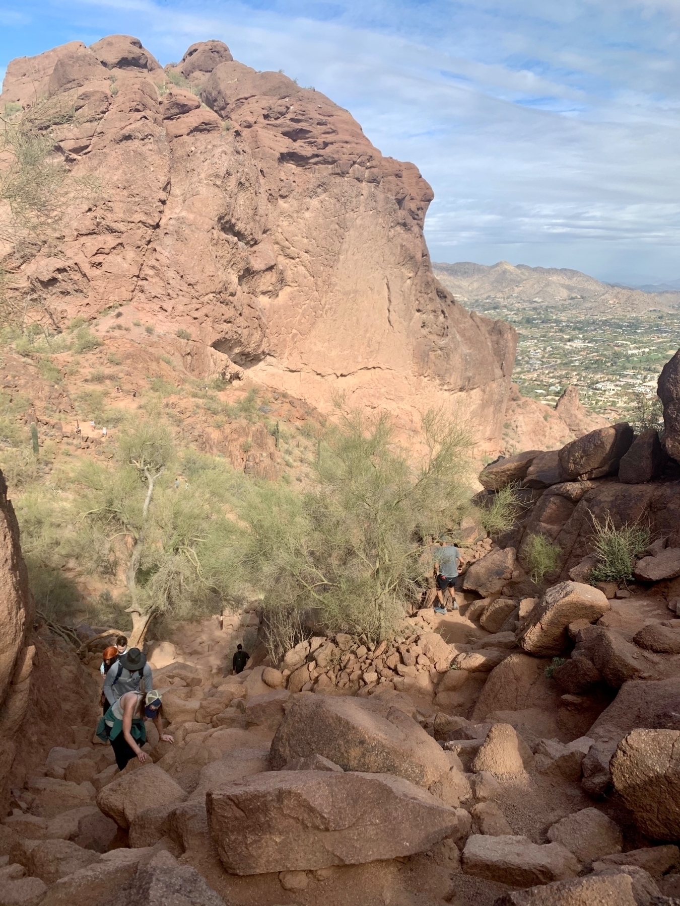 _Looking back and seeing other hikers coming up the trail._
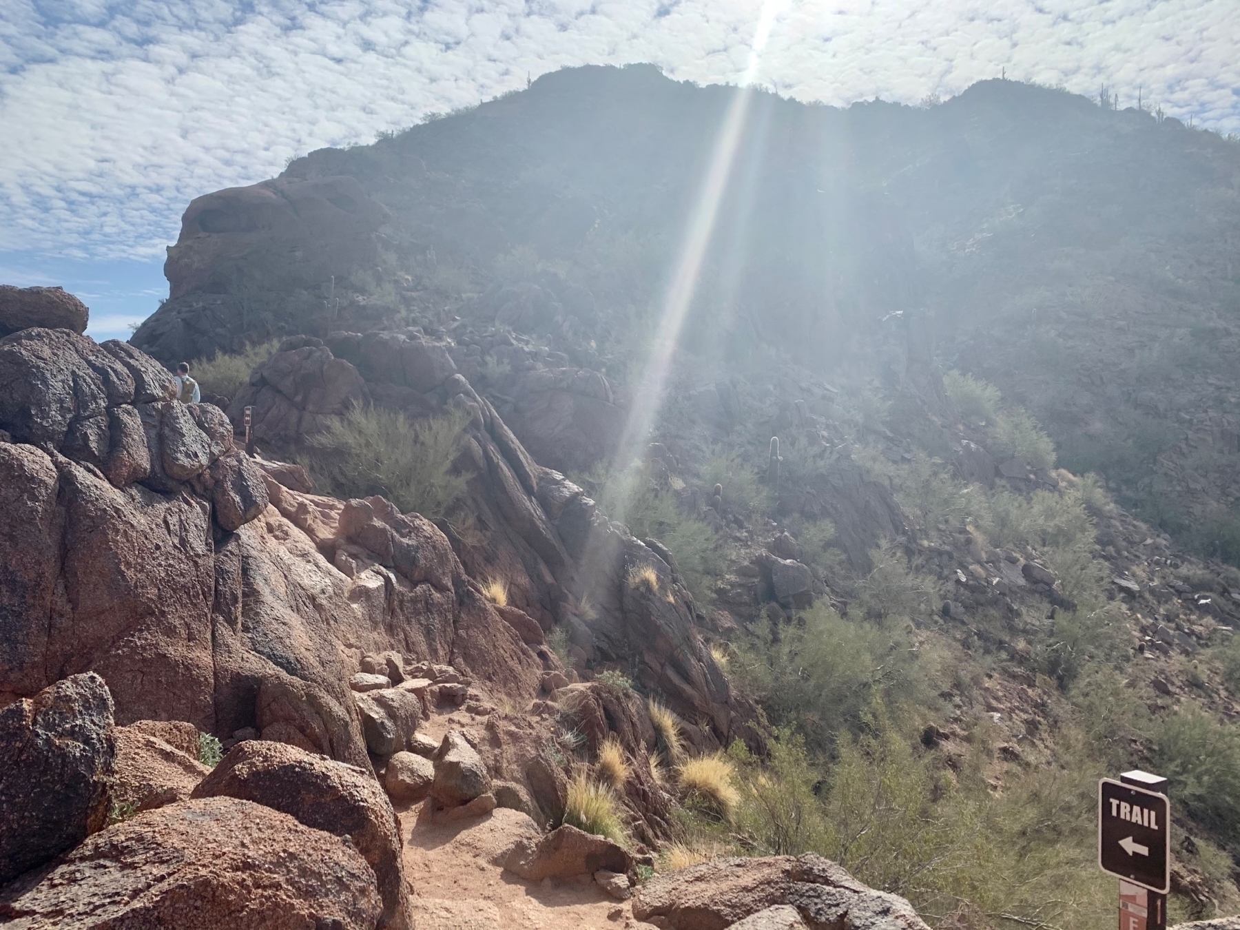 _The trail curves around and climbs up on the ridgeline._
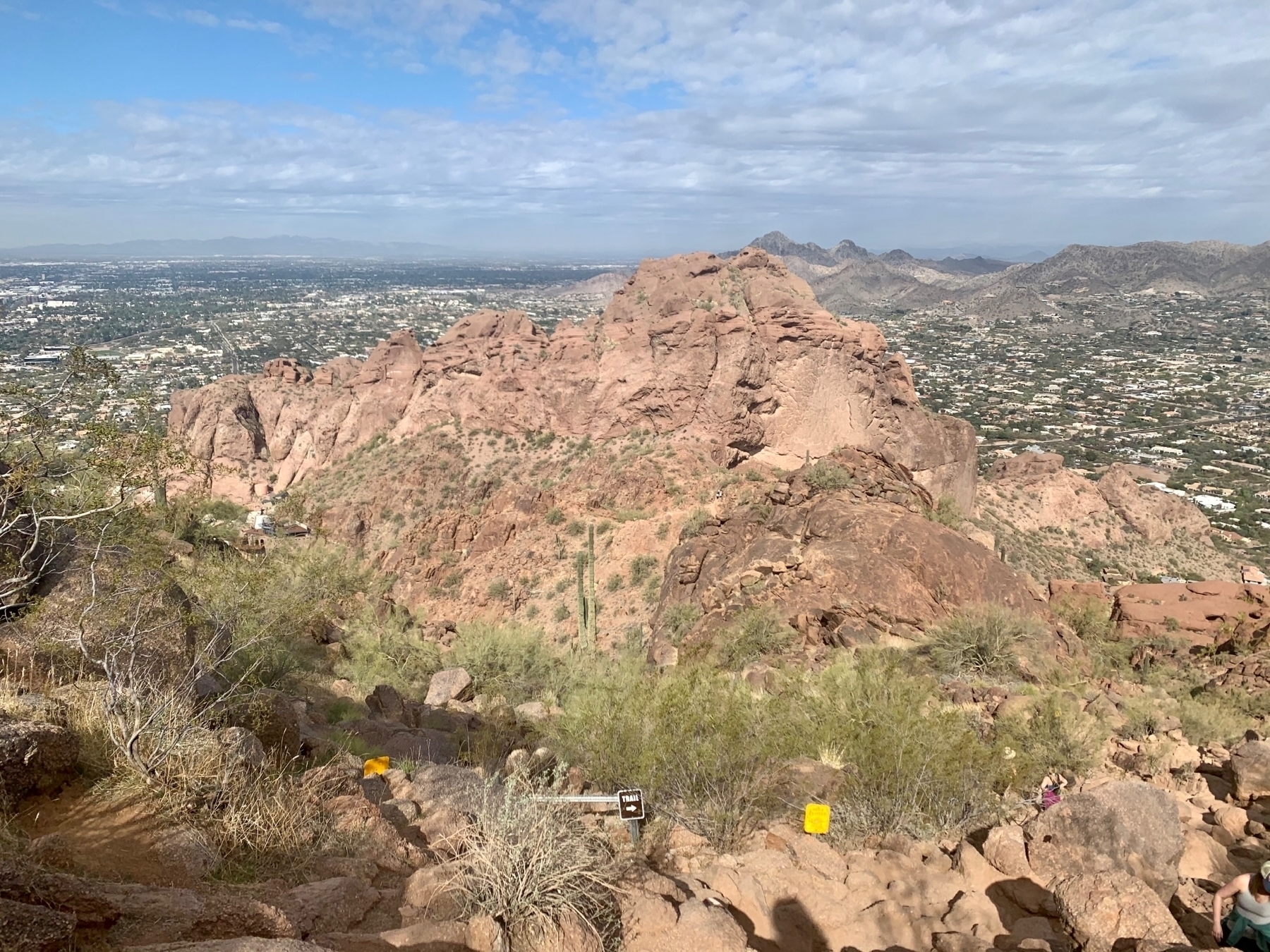 _Looking back along the trail._
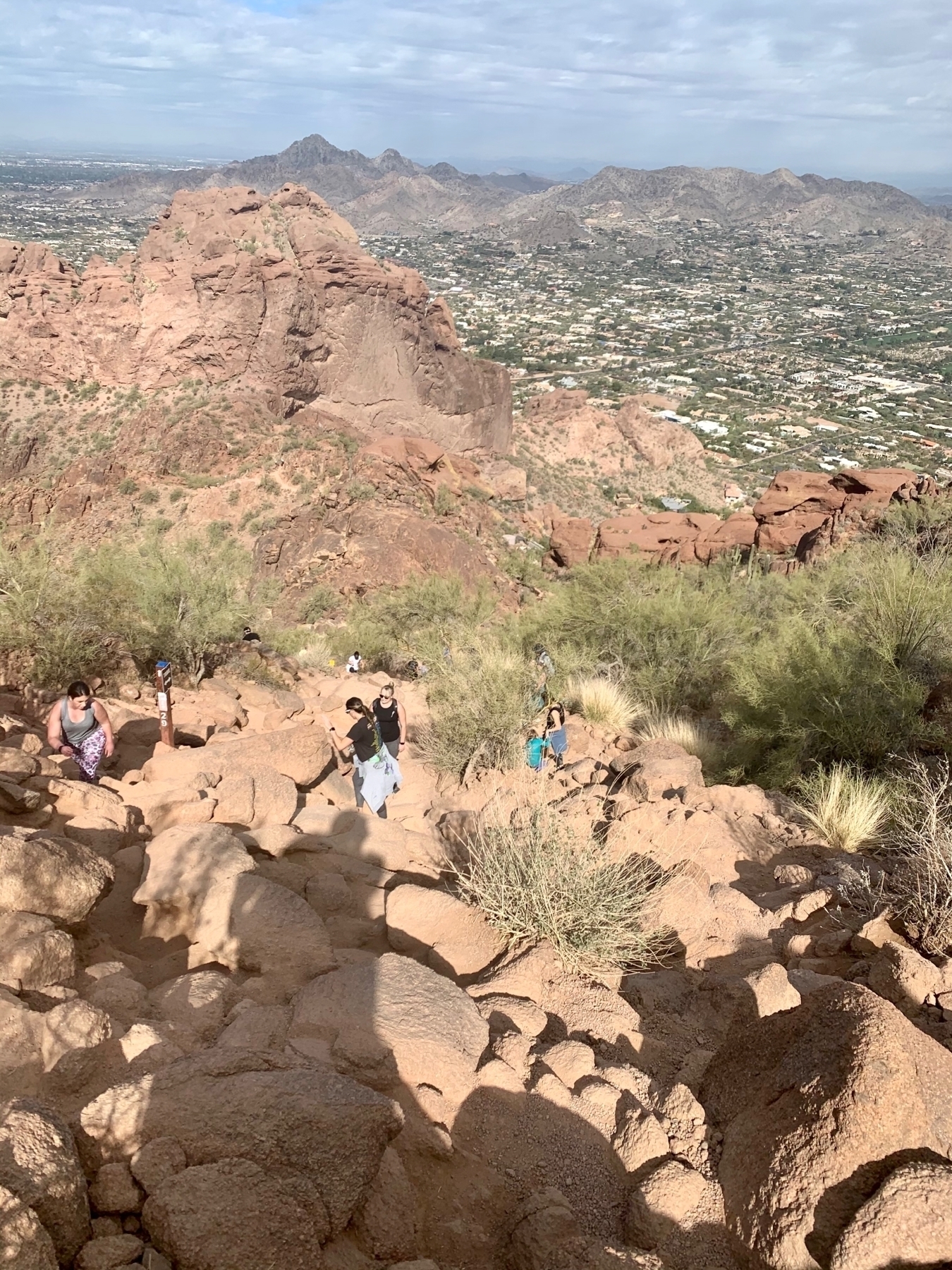 _More hikers ascending up the steep boulders._
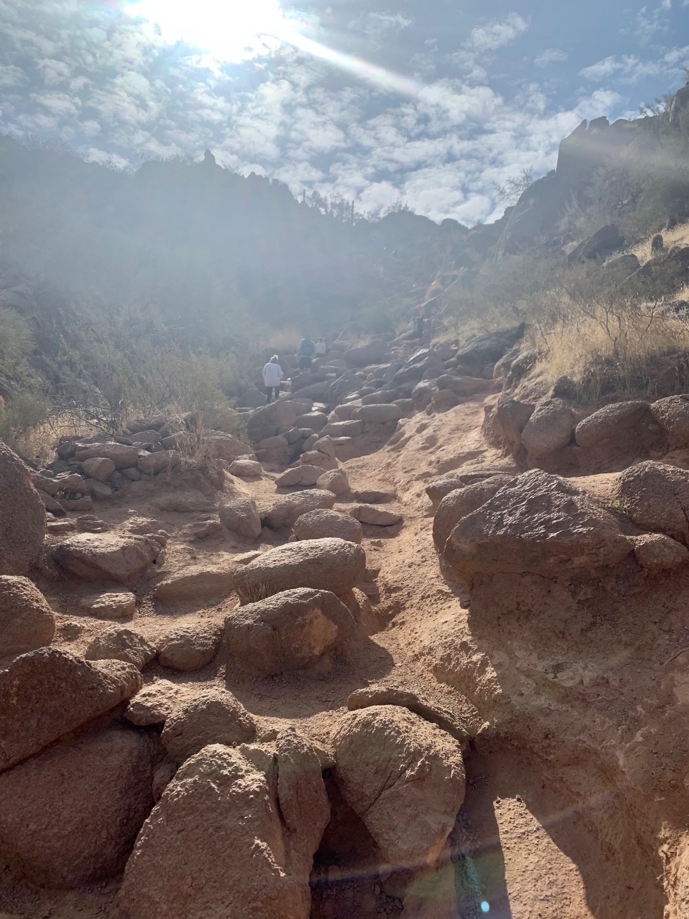 _The trail just goes up for as long as you can see._
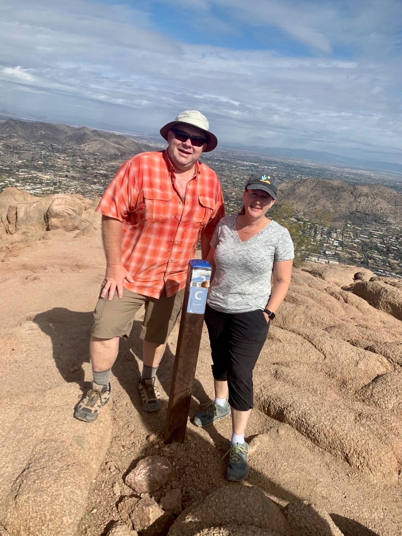 _Tammy and I at the Summit of Camelback!_ 🏆
 _Selfie with Phoenix way below me._
Techies who Peloton First Ride
When Minnestar decided to launch these “Techies who …” communities I was really excited to get a Peloton group setup! As if by design, Peloton also just launched their brand new scheduled session feature that works perfect for this. So we are getting our very first ride scheduled, and I thought it would be fun to do it on St. Patrick’s day!

If you are a Peloton Cyclist join our first Techies Who Peloton ride! 🚴
-
Let’s do our very first ride on St. Patricks Day at 5:30pm with a 30-minute EDM ride with Jess King! 🎉 Join the class! 🗓 If that link doesn’t work please try another device or another time. It should open into the Peloton iOS app and allow you to sign up for the scheduled session. If it opens in a browser it will give you a beta feature message.
-
Tag yourself to join our community and add the MInnestar tag to your Peloton profile! 🏷
UTV in The Rolls
We have always thought it would be fun to rent a UTV and go out for some trail riding. We gave American Powersport Rentals a call and Duke got us all set up. We rented for a half day and were complete newbies but had a great time. We drove to the Rolls OHV Area in the Tonto National Forest. We didn’t have the electrical hookup for the trailer so I was happy it was only 15 miles of straight driving.
Here is our route for the day, you can also see the official trail map.
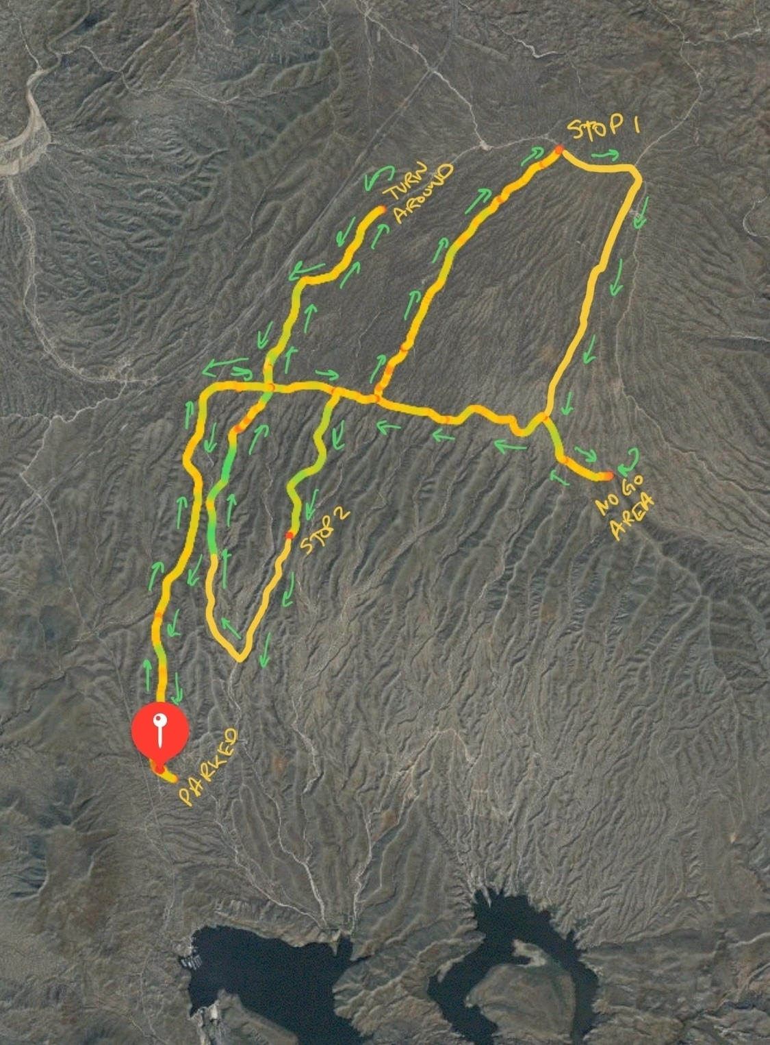
We got the Teryx4 out in the Pobrecito staging area and took off.
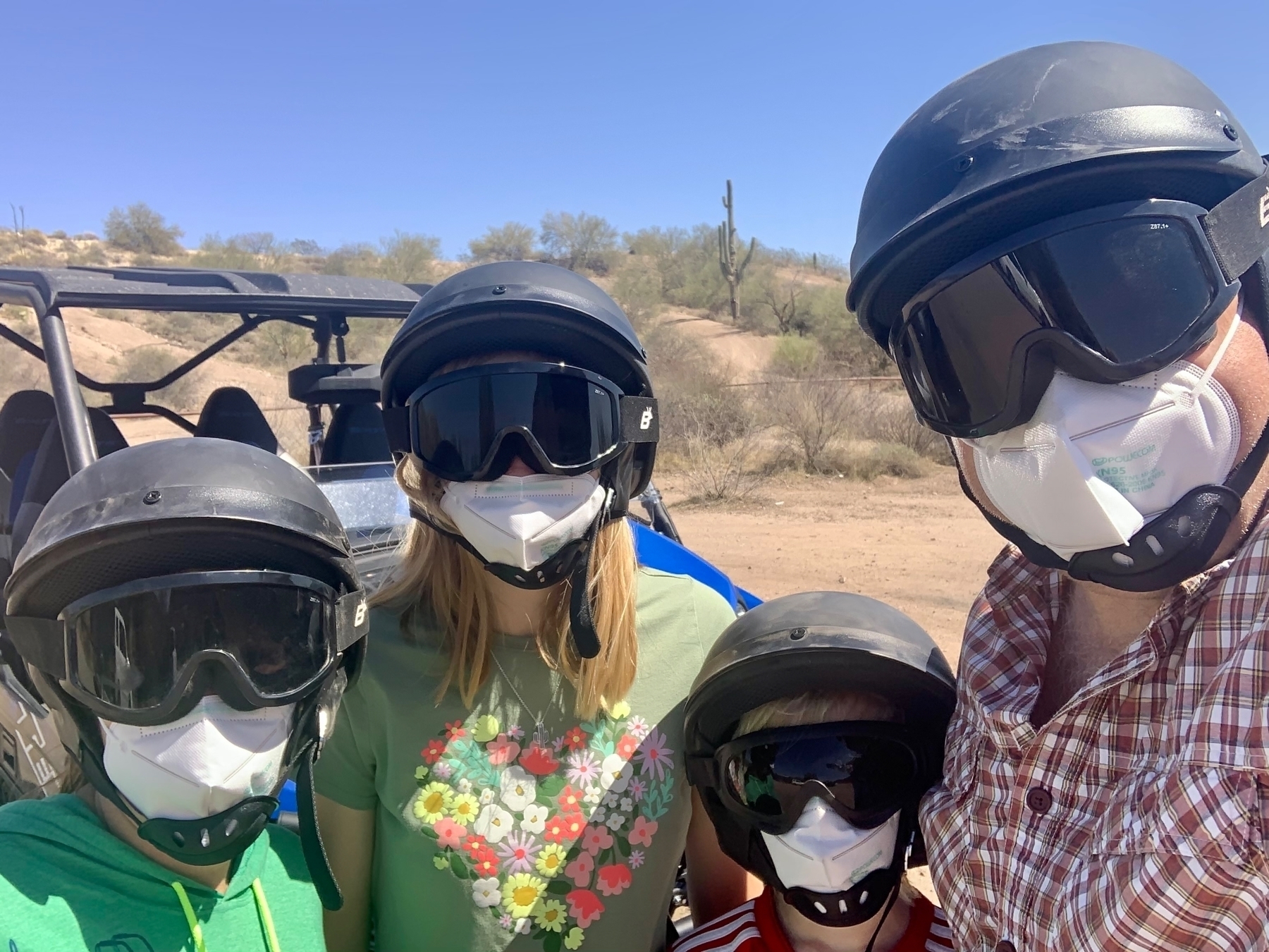 _Before taking off with our helmets, goggles and masks on for dust._
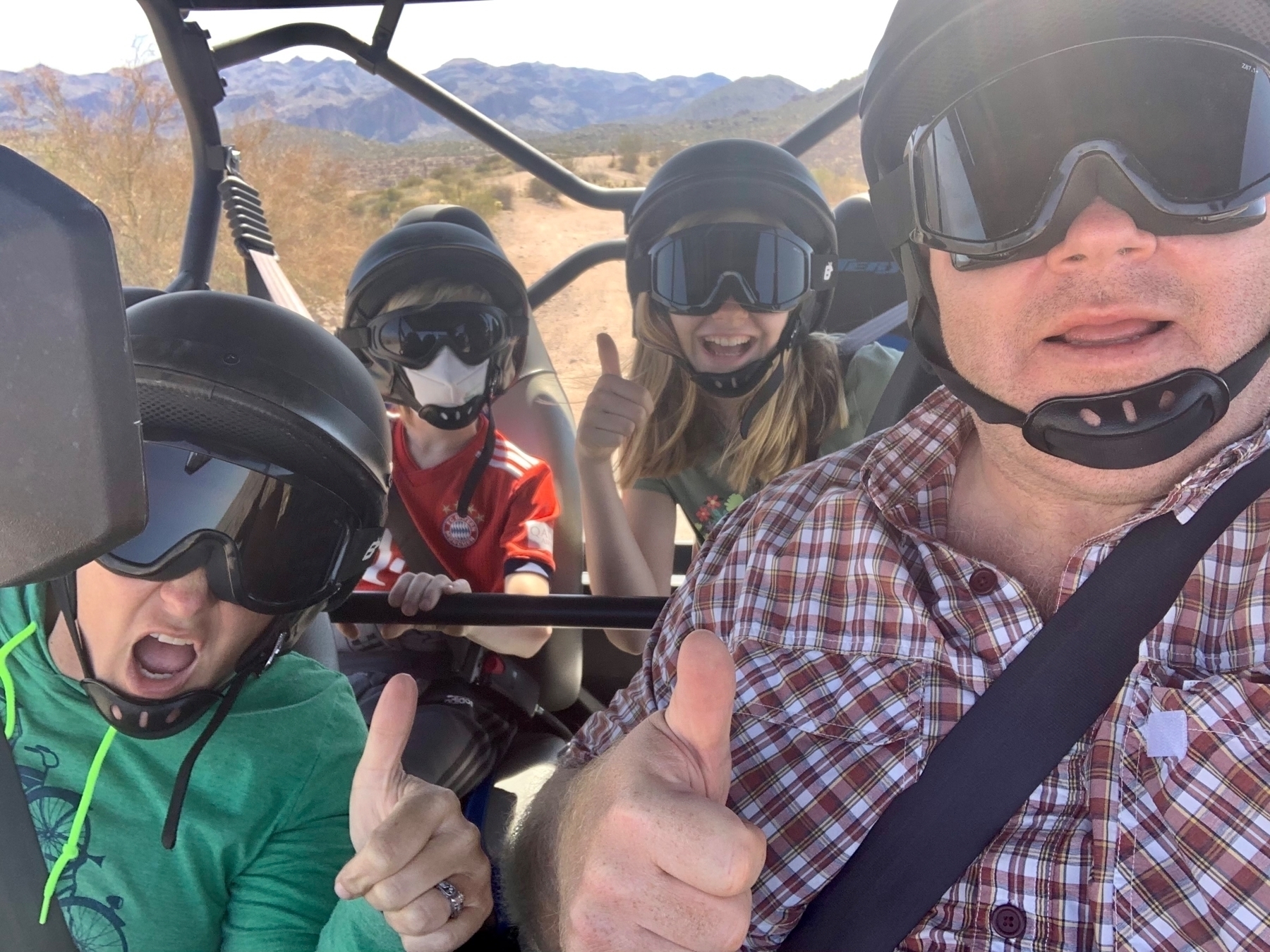 _The dust wasn't too bad so we ditched the masks._
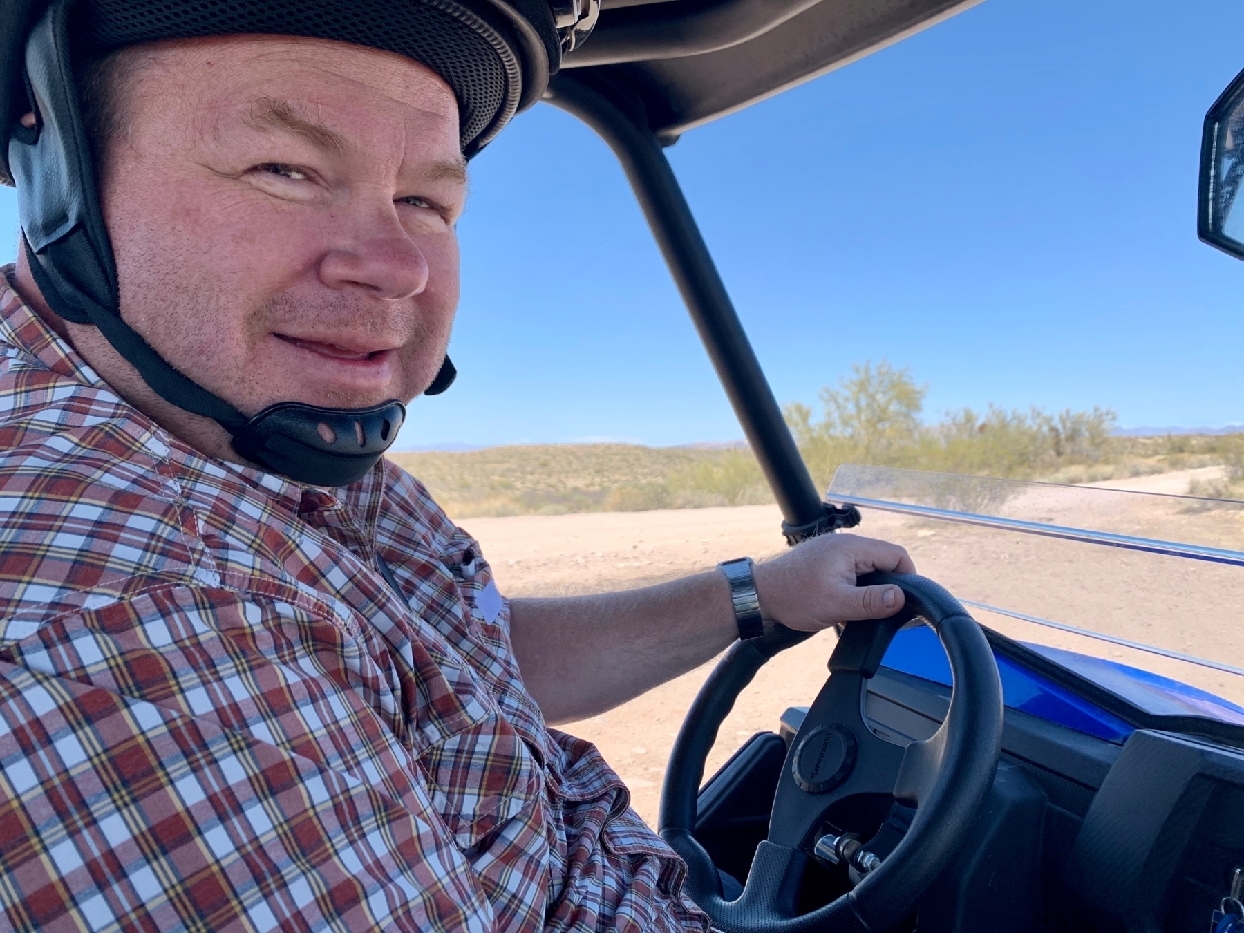 _Me having a lot of fun._
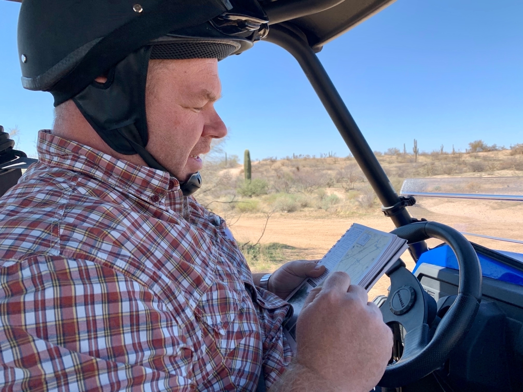 _Navigating and figuring out where we are heading._
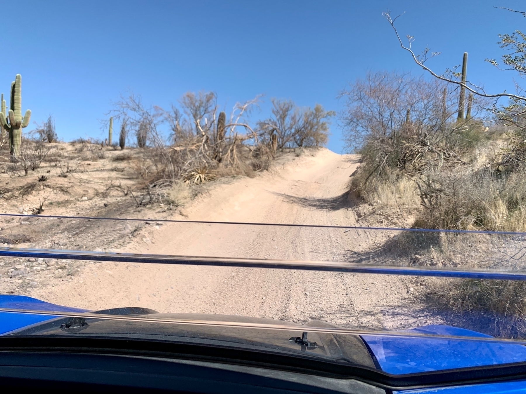 _Trails were awesome. Some fast, some really rocky, and a lot of pebbles you could tear around in._
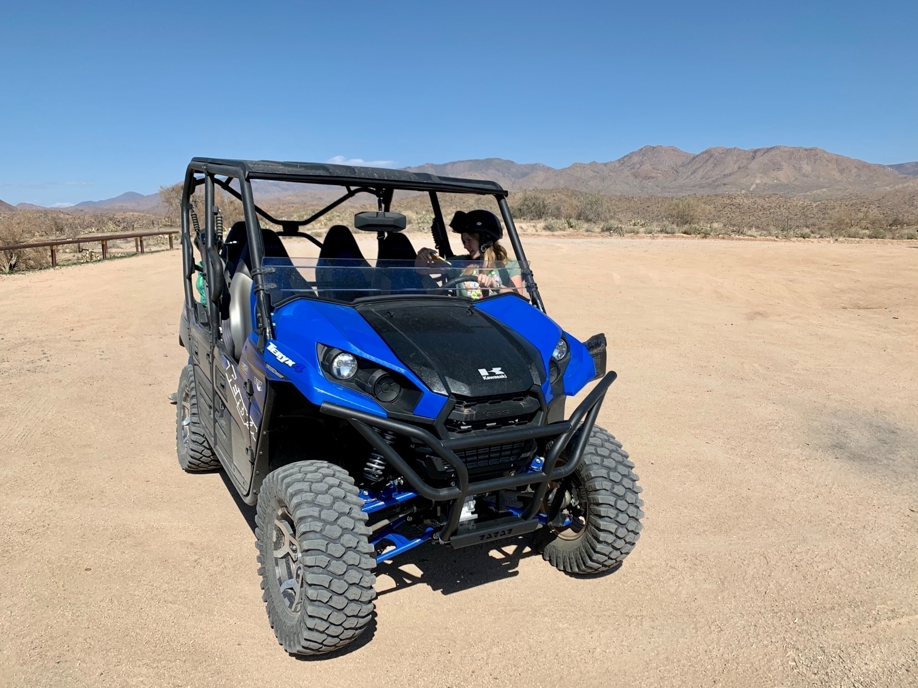 _Our stop at Palo Fierro for a break._
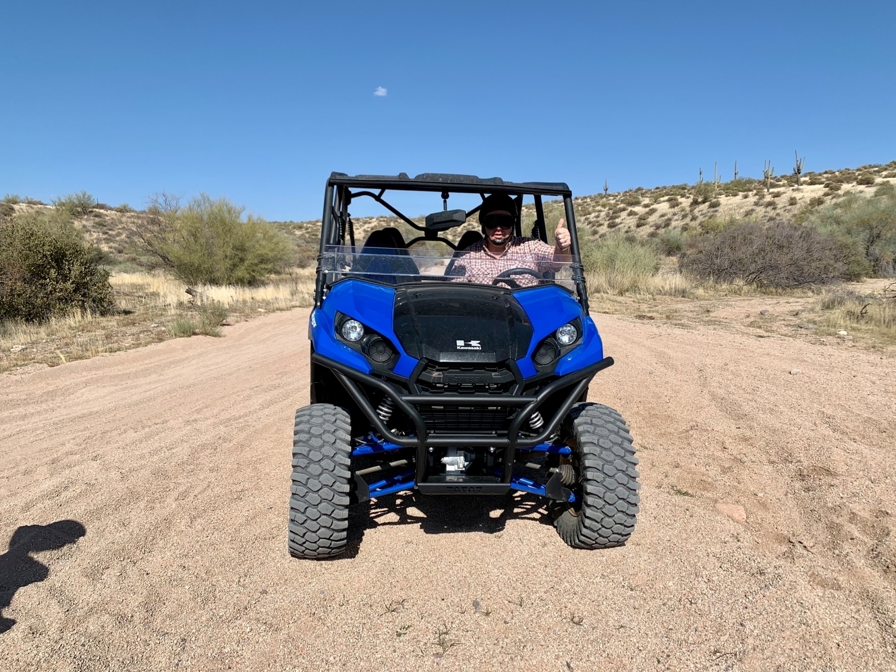 _On 1863 at Stop 2 taking the wheel after Tammy gave it a go._
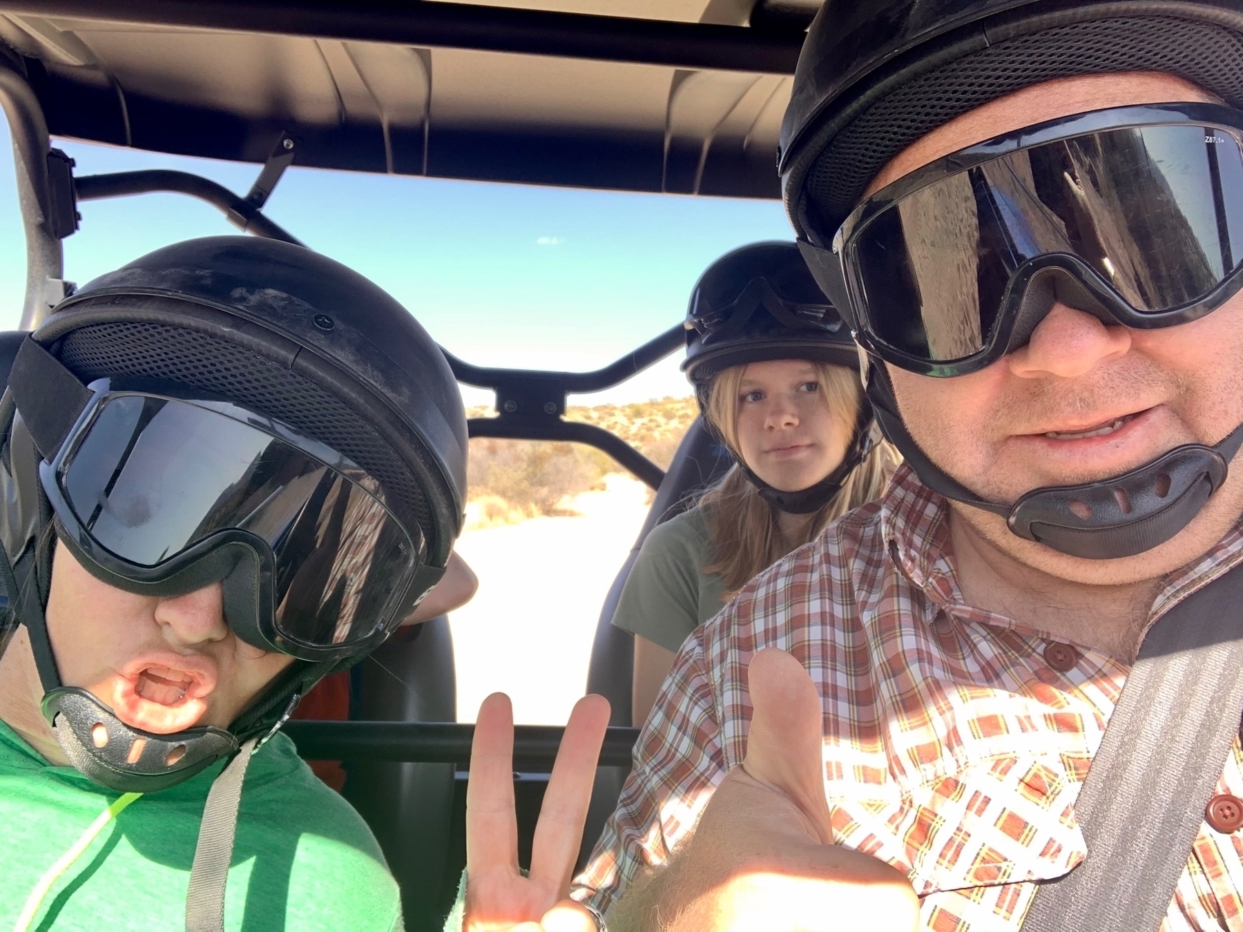 _Family selfie! Mazie is having more fun than she looks in the picture._
Pinnacle Peak
Every Wednesday that we have been in Arizona, Tammy has been able to meet up with her Mom and hike Pinnacle Peak. Most of the time Mazie has been able to join her, but I was working so I couldn’t join. This week I’m on vacation and Tammy and I got to hike it together. It is a great route and the trail was impeccably maintained. They even have volunteers that are there to call for help if anyone needs it.
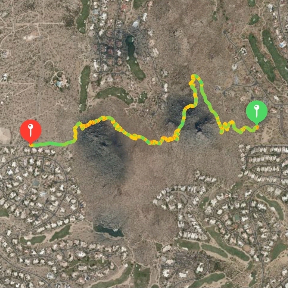
Tammy and I hiked from the trailhead to the end which was 2 miles. We went all the way to the end and touched the gate at marker 101. 436 feet of climbing that way. On the way back Tammy and I went at our own pace, and we both decided to push it.
She quickly left me in the dust. On the way back, the trail immediately climbs steadily for a half-mile and I was “redlined” at 170+ bpm the entire way up. You also get to climb more on the way back with 732 feet of elevation in the 2 mile return route. It turns out the end of the trail is about 300 feet lower than the trailhead!
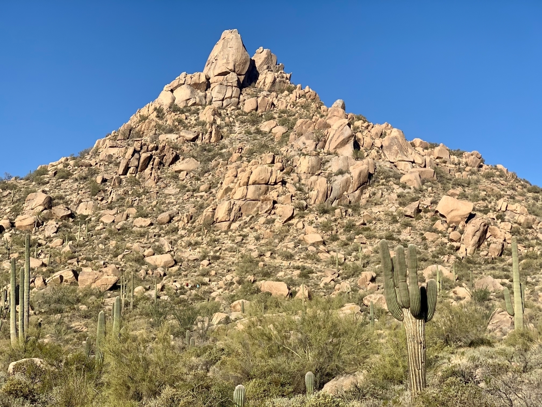 _View of Pinnacle Peak from the beginning of the trail. You never do get to the peak._
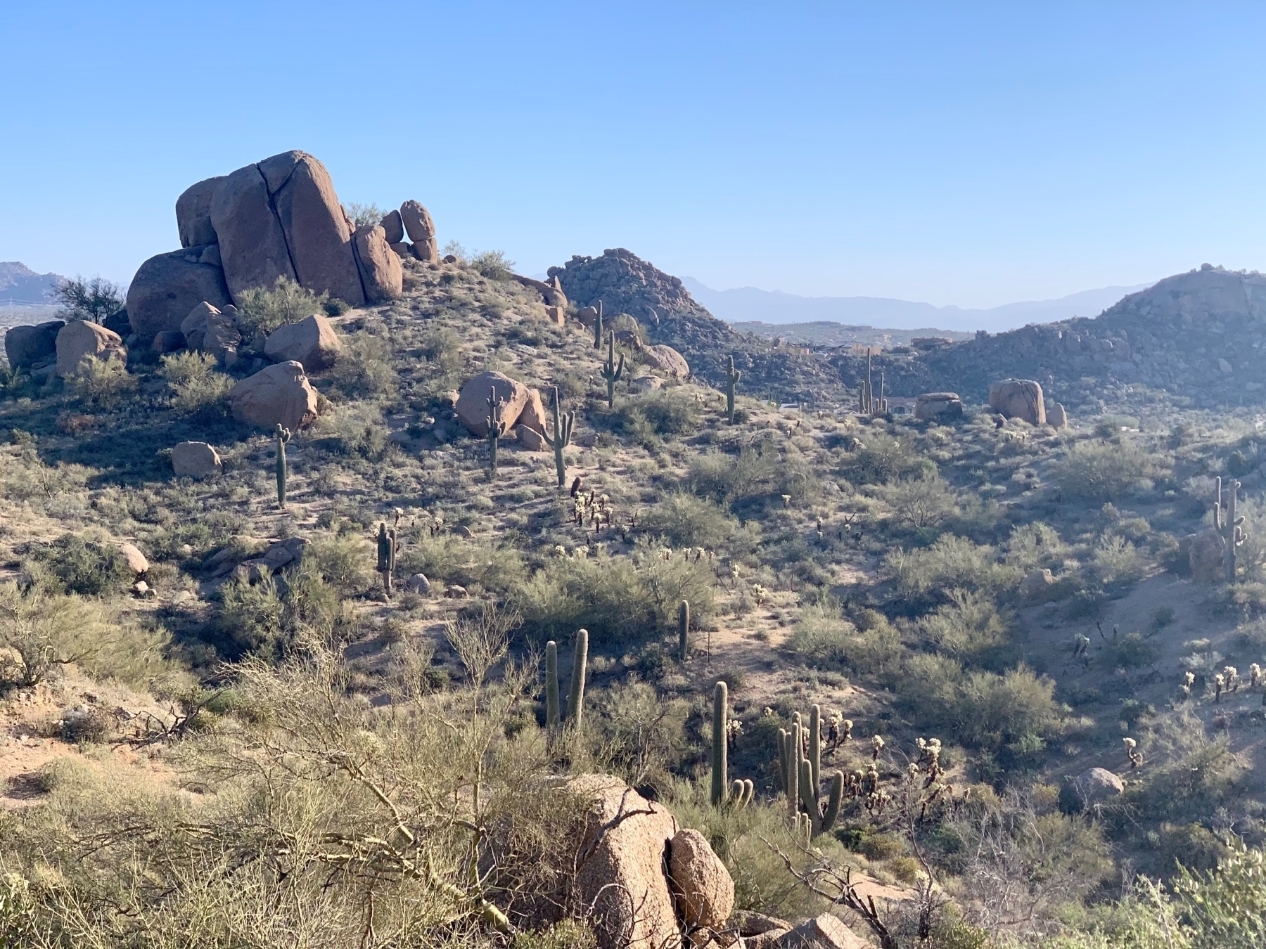 _Can’t get enough of the Saguaro cactus all around the trail._
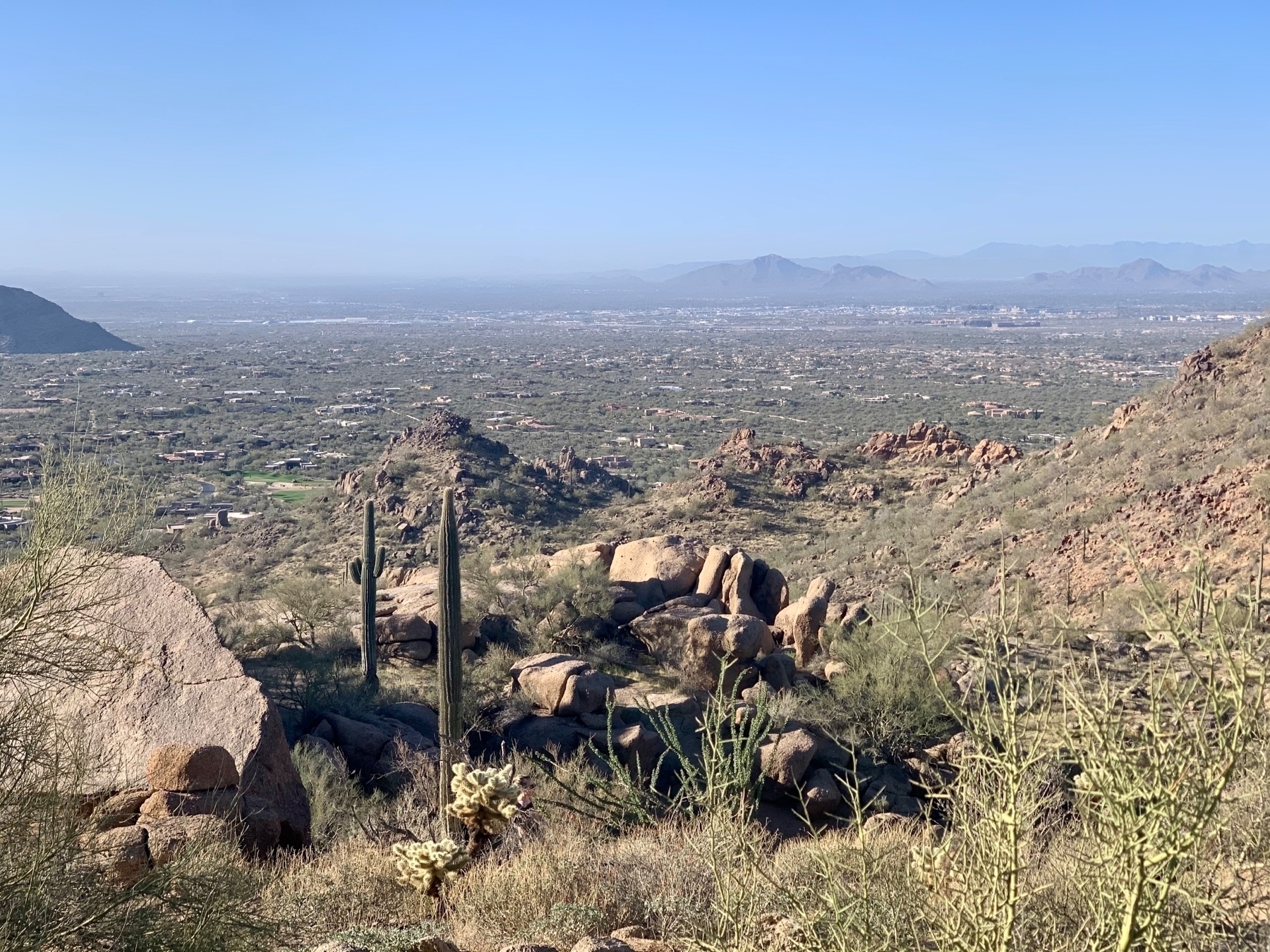 _You can see Scottsdale and the surrounding Phoenix area very well from here._
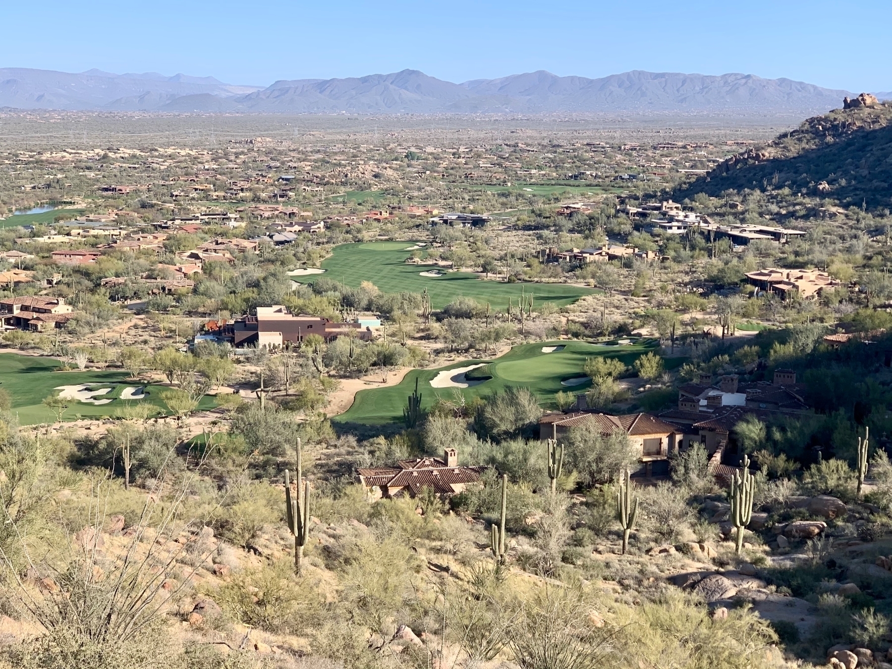 _Golf courses really stand out in the desert landscape. As do the incredible houses in this area._
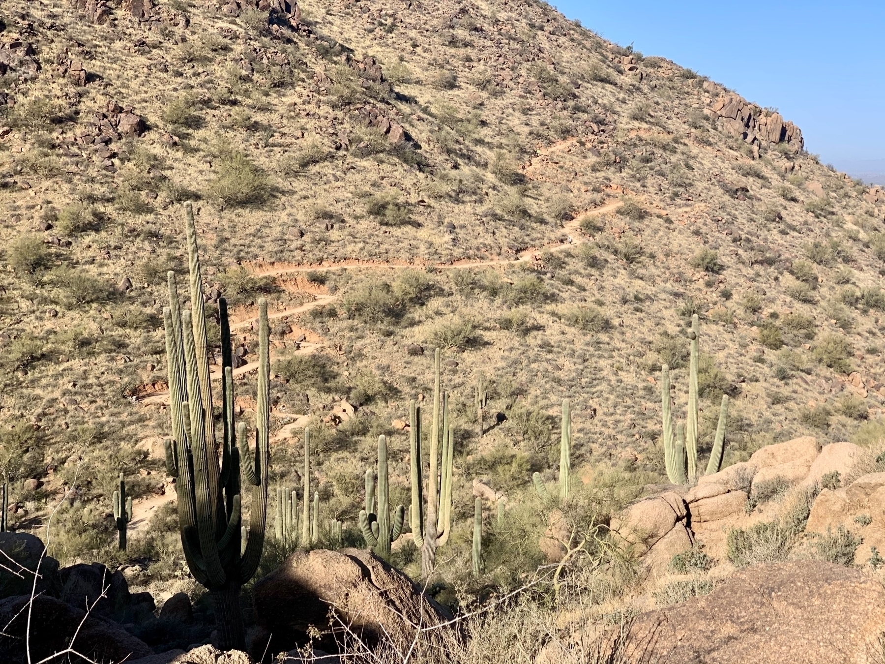 _You climb and descend twice on this trail. Here you can see the trail on the other side climbing up the second mountain._
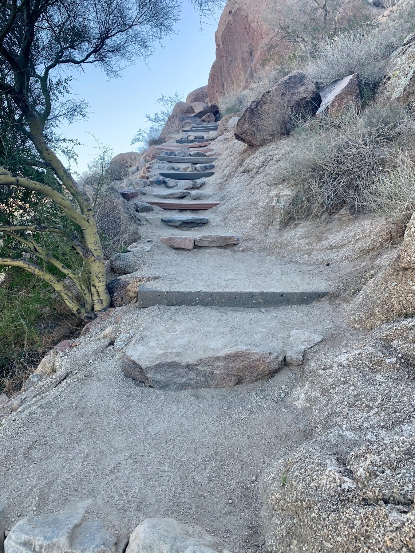 _Stairs in the trail on the descent toward the end of the trail._
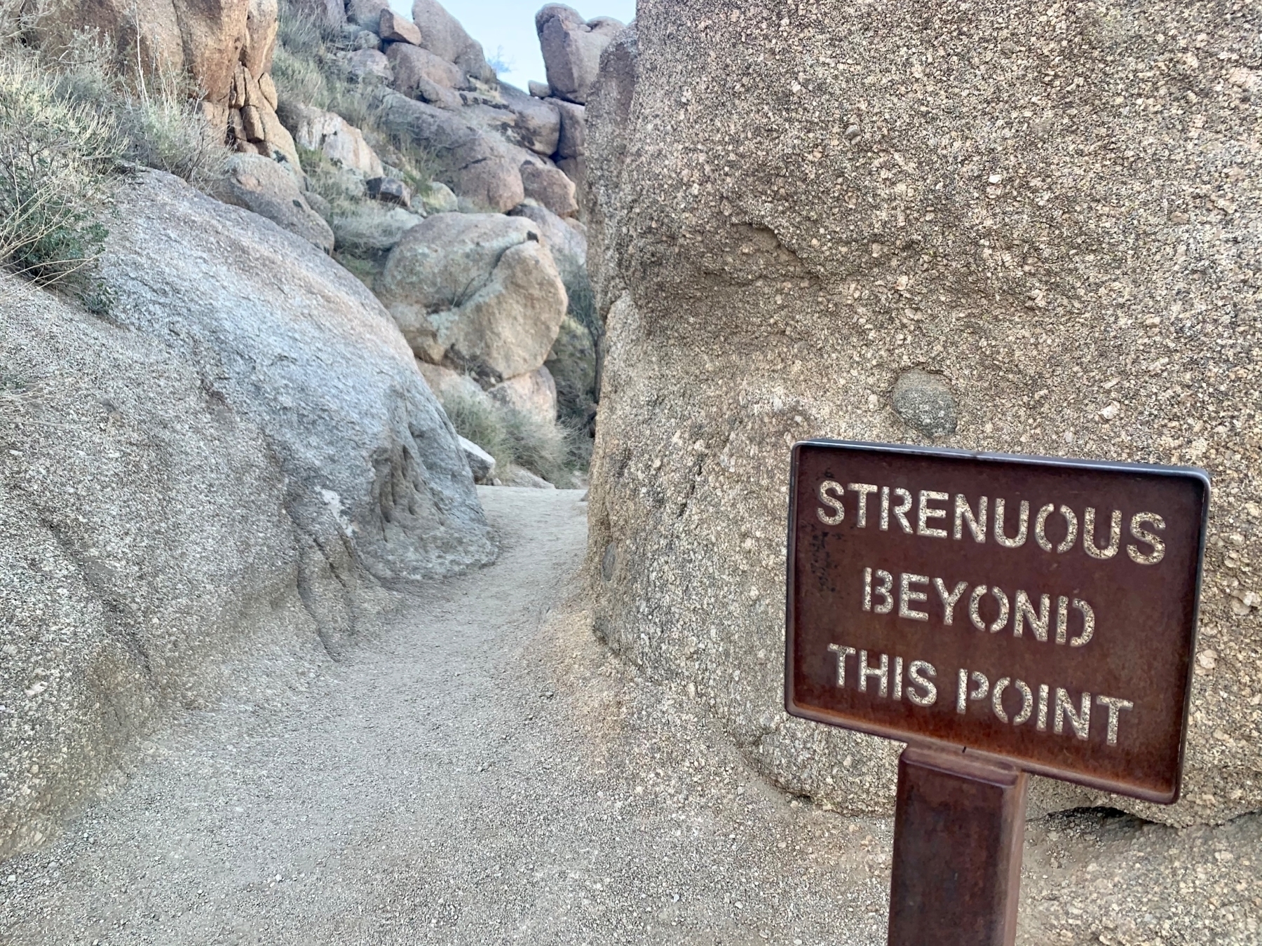 _Strenuous indeed._ 💦
Drive-in movie at West Wind in Glendale, AZ! There must be 10 screens here. 🤩 Seeing Tom & Jerry. 🍿

Chelsea’s Kitchen
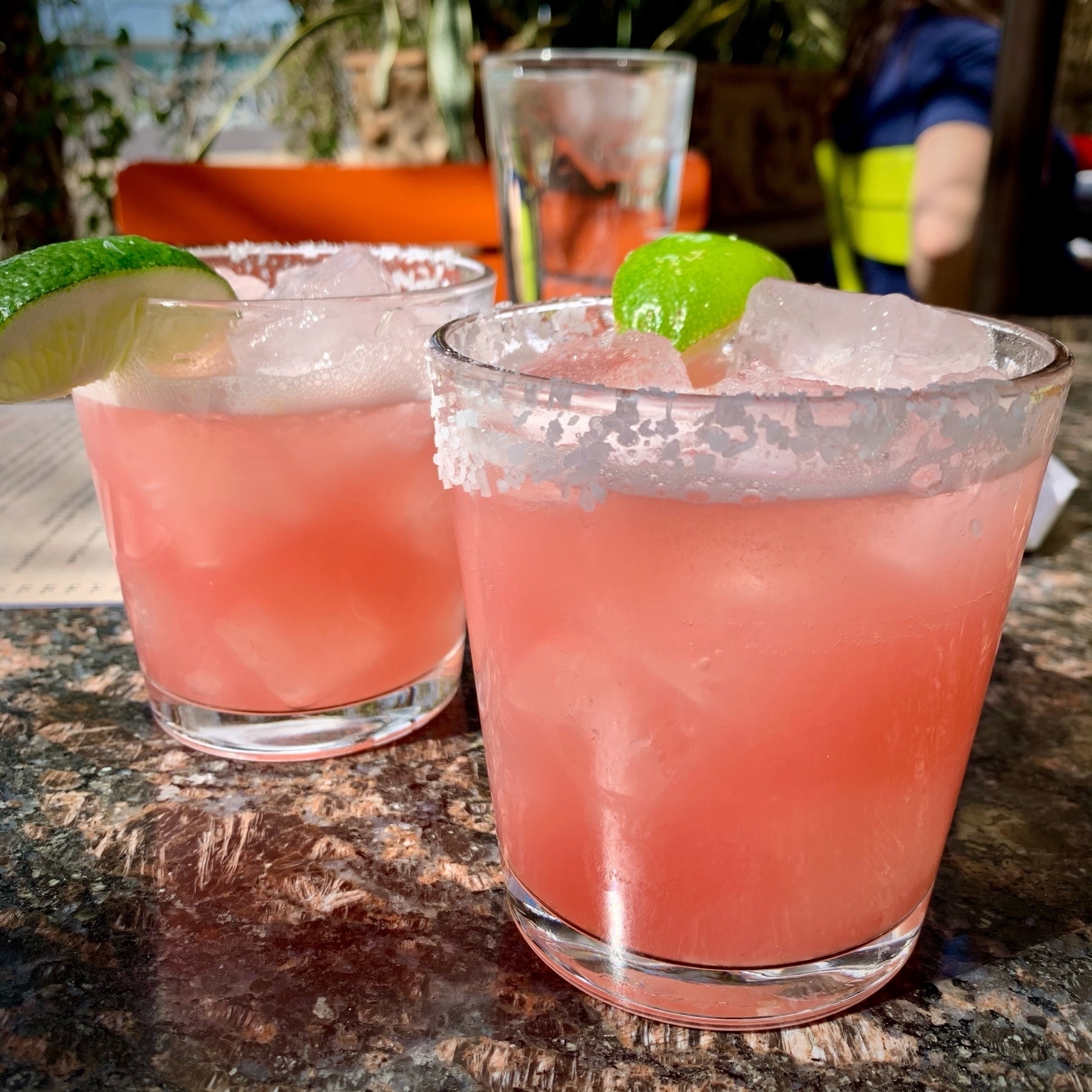
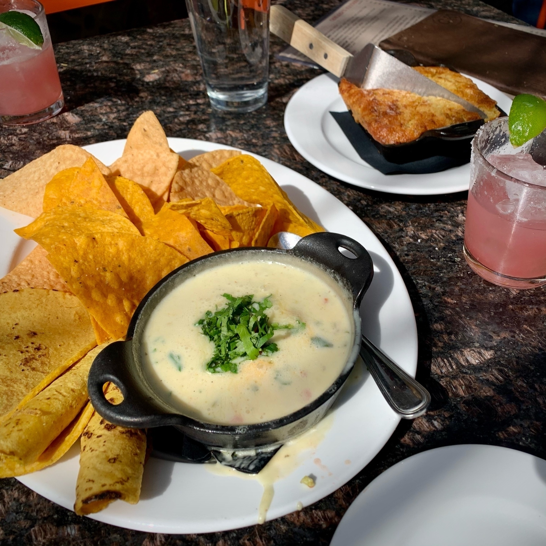
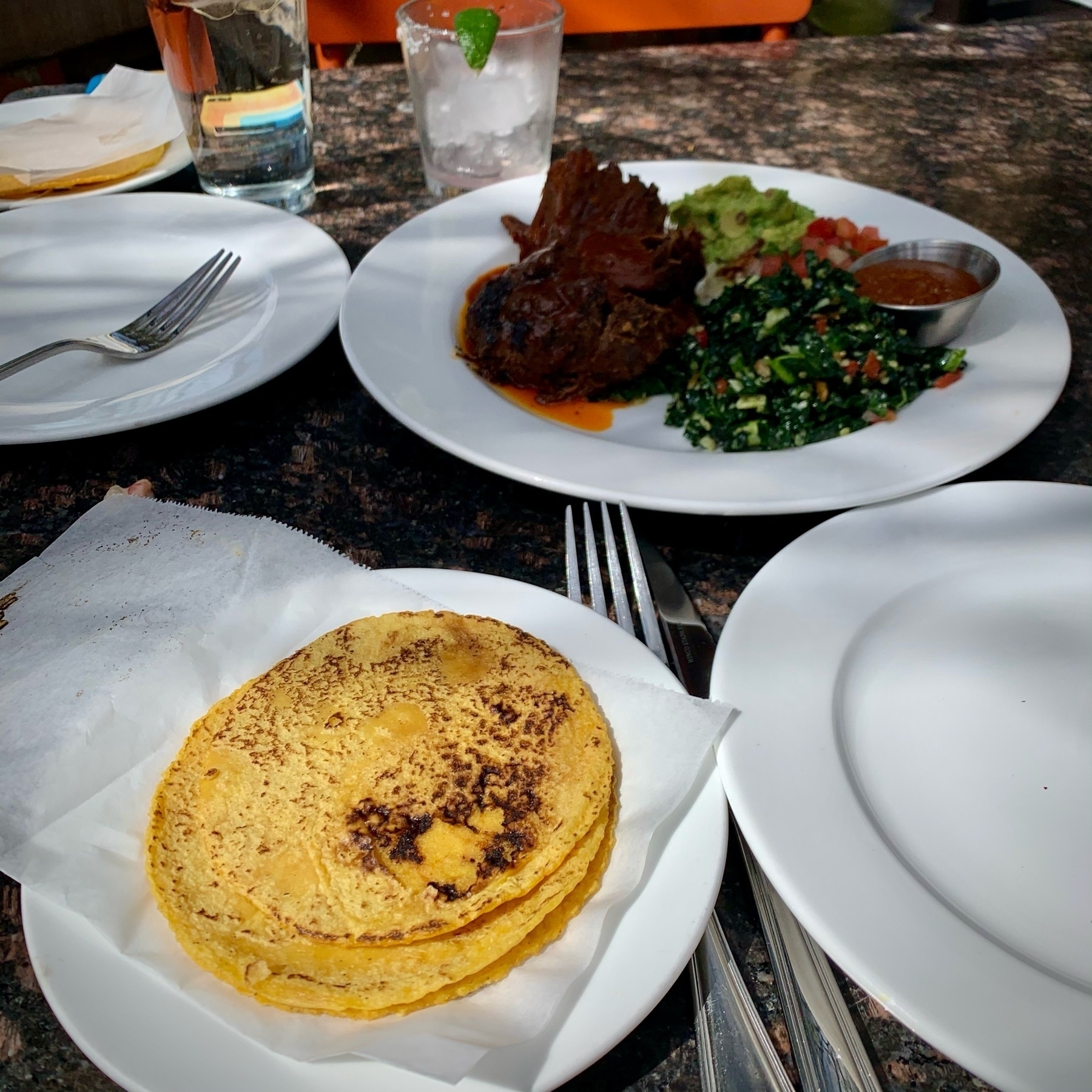
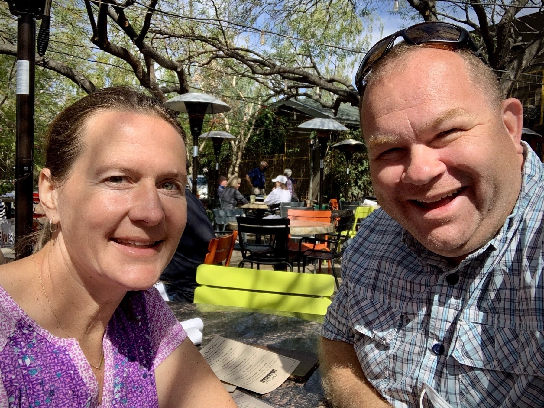
Tammy and I had a delicious lunch today at Chelsea’s Kitchen! We started with Prickly Pear Margaritas, one of our favorites. The New Mexico Hatch Chili Queso let the Hatch Chili’s shine. The Green Chile Cornbread was delicious with a touch of heat and sweetness. We finished with the LGO Reserve Short Rib Tacos. Thanks to my brother Isaiah and his wife Tiffany for the recommendation!
Trail panorama on Infinity Loop Hike.
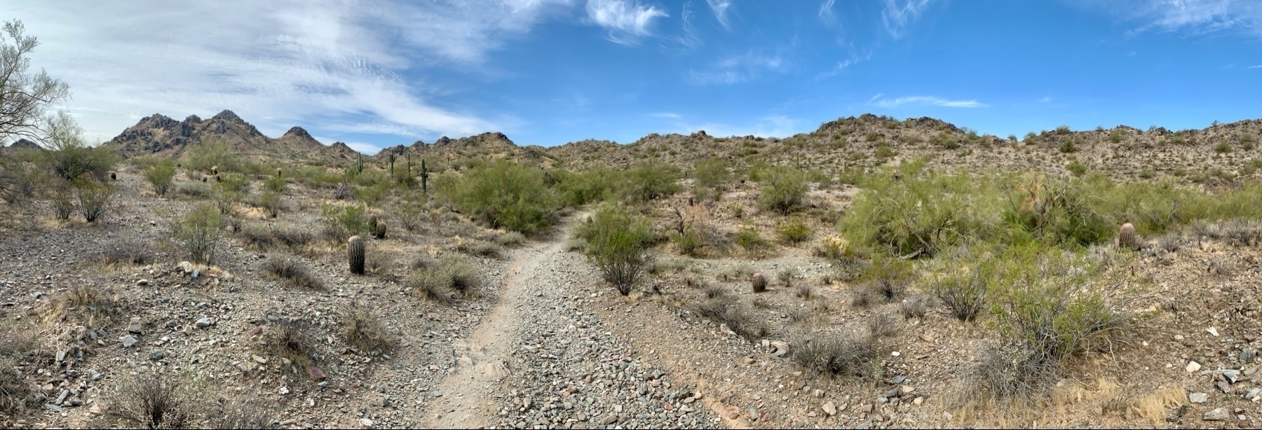
Infinity Loop Hike
This morning Tammy and I hiked the Infinity Loop trail in Dreamy Draw. We were looking for a longer hike without much elevation today, so this 5 mile loop with just 500 feet of elevation worked well. Plus, we got to make an Infinity Loop ♾ with our tracks!
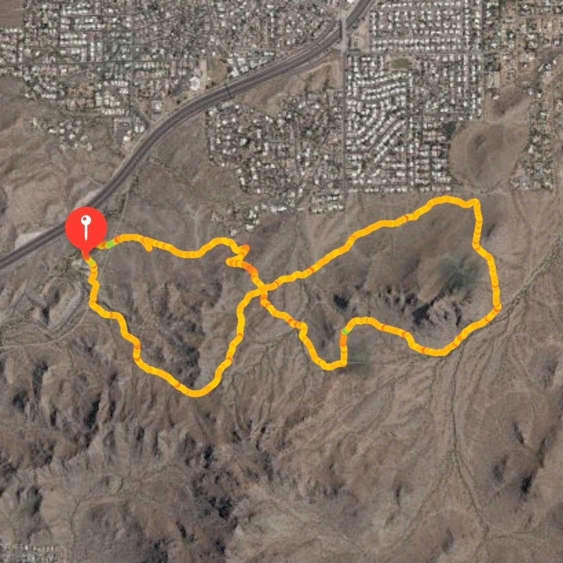
It was a good hike but we would have lost the trail a dozen times if we weren’t tracking it with the All Trails app. There are no markers and there are dozens of intersecting trails.
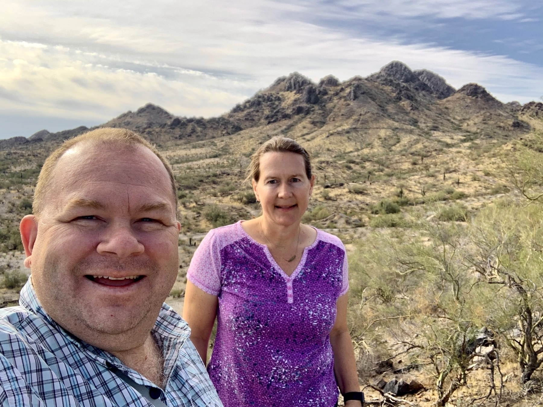
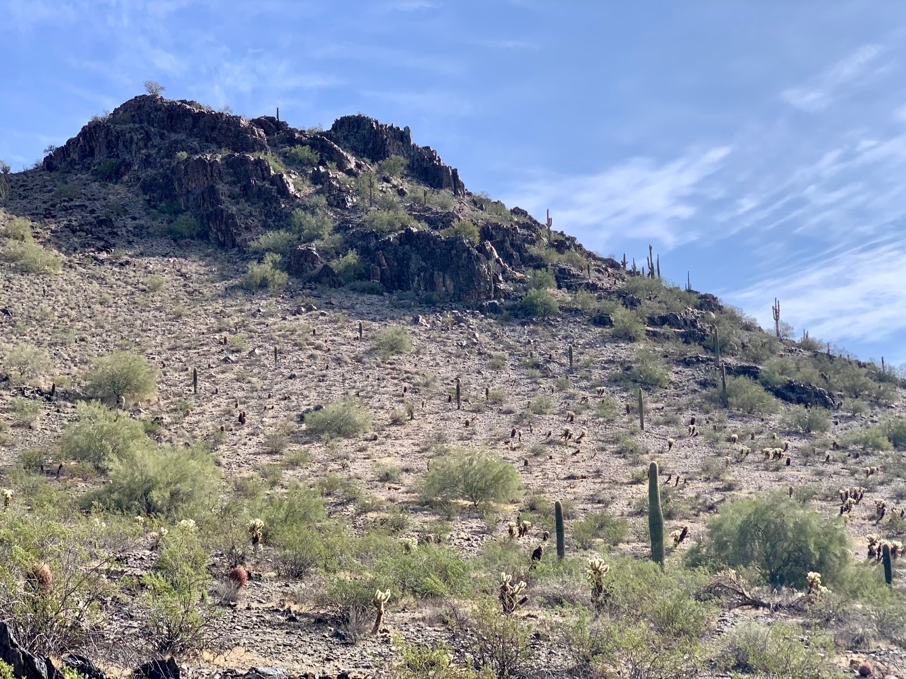
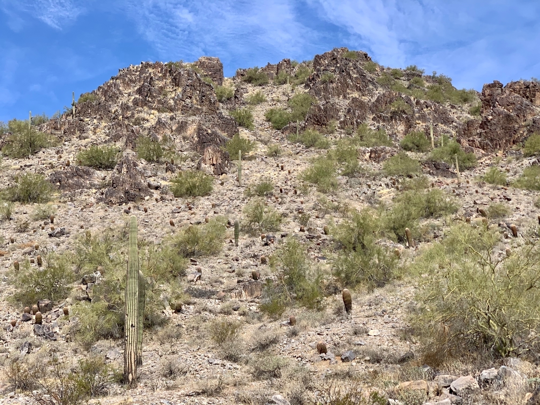
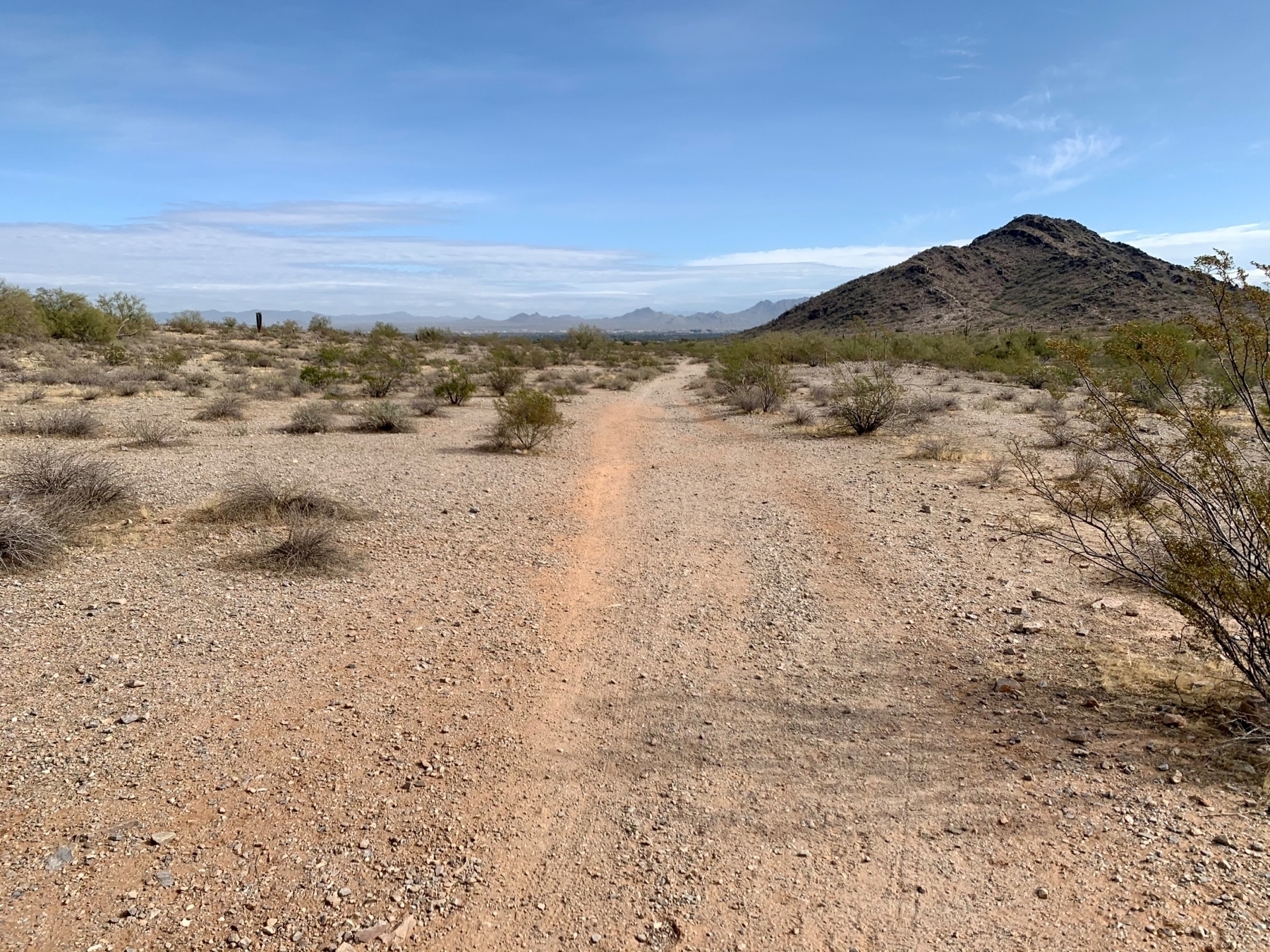
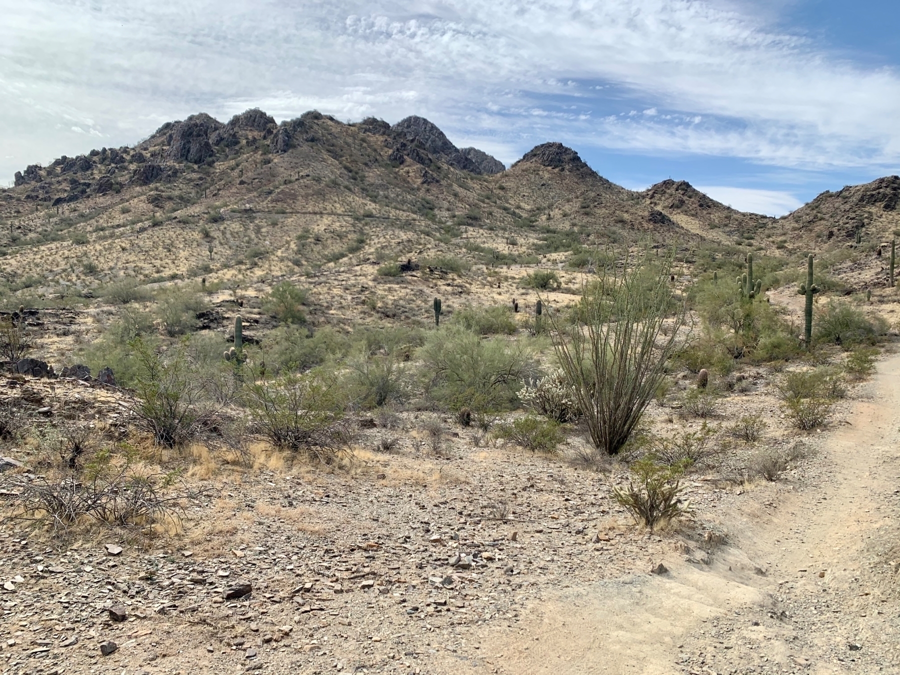
Recognizing International Women’s Day 2021 and Choosing to Challenge! We will advocate for and support the women in our lives. #ChooseToChallenge #IWD2021
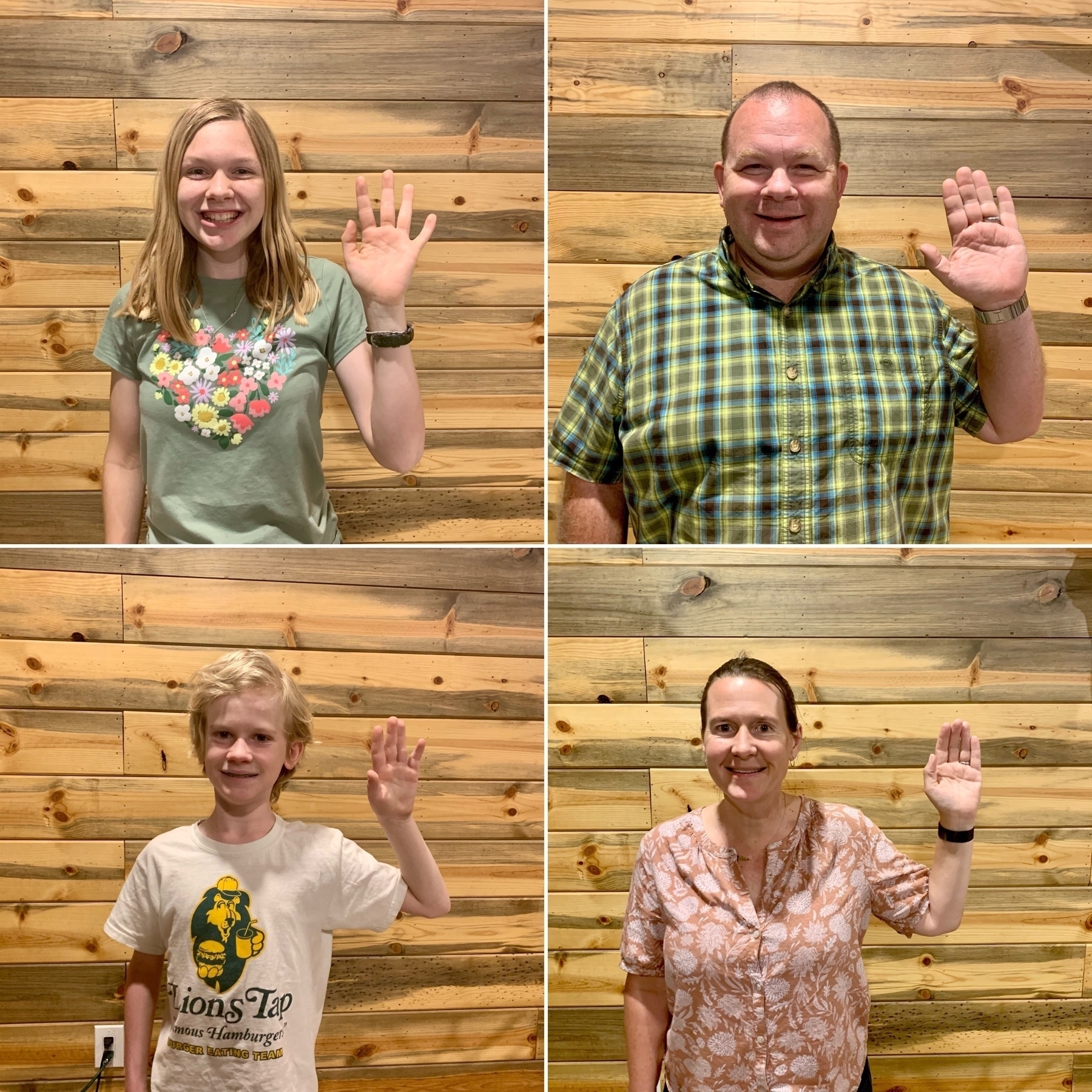
See IWD 2024, 2021, 2020, 2020 @ SPS, and 2018.